CERTIFICATES.
I engage in ongoing professional development to stay current with evolving geospatial technologies. These certifications reflect my commitment to lifelong learning and adapting to new tools, methods, and industry trends


-
Explored GIS applications for climate resilience & visualization of risks-floods
-
Software used: ArcGIS Pro, ArcGIS Online, Network Analyst, Dashboards, StoryMaps, Instant Apps, Survey123, Living Atlas
-
Developed a climate-data dashboard and StoryMap
-
Gained hands-on skills with imagery analysis, change detection, and 3D modeling
-
Software: ArcGIS Pro, Image Analyst, ArcGIS Online, Image for ArcGIS Online, Drone2Map, Deep Learning tools
-
Produced orthomosaics, change-detection maps, and imagery-based analysis outputs
-
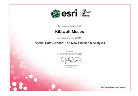
Explored spatial data science methods, including data engineering, predictive modeling, space-time pattern mining, and deep learning–based object detection
-
Software: ArcGIS Pro, ArcGIS Online, ArcGIS Notebooks, Spatial Analyst, Image Analyst
-
Created spatial models and analytical workflows; communicated insights using ArcGIS StoryMaps

-
Explored geospatial methods for biodiversity conservation, habitat monitoring, and natural resource management
-
Software: ArcGIS Pro, ArcGIS online, ArcGIS Story maps
-
Produced conservation maps and spatial analyses to support decisions protected areas


-
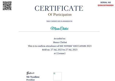
Certificate of Participation awarded by the Institution of Surveyors of Kenya (ISK) for attending the Voters’ Education session, aimed at strengthening professional governance and awareness.
-
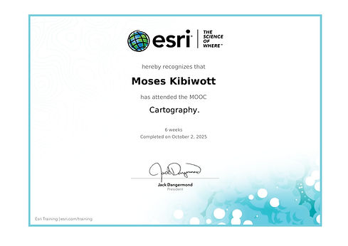
Cartography MOOC – Esri (August-October 2025)
Learned advanced cartographic principles and ArcGIS Pro techniques to design effective 2D/3D maps and publish engaging information products.
-
Certificate of Participation awarded by the Institution of Surveyors of Kenya (ISK) for attending the Joint Geospatial Chapter event, fostering knowledge exchange and professional collaboration within the geospatial field.